Speak up for the Presidential Range-Dry River Wilderness in New Hampshire

The U.S. Forest Service is seeking public comments on a proposal to amend its Forest Plan for the White Mountain National Forest (WMNF) to relocate part of the Webster Cliff Trail in the Presidential Range-Dry River Wilderness in New Hampshire.

We urge you to submit a public comment by Wednesday, April 2

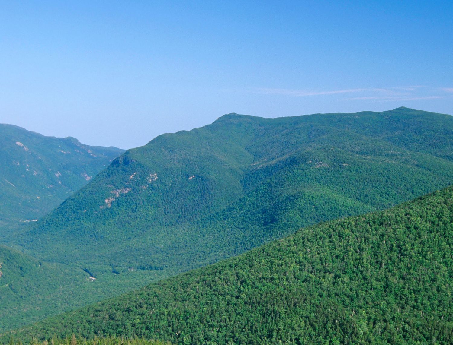
The WMNF has trailless zones within its six Wilderness areas, and the current Forest Plan requires wilderness trails to be located within designated trail corridors.
Trail corridors are 1,000 feet wide, with trails running through the middle of the corridor.

These important trailless areas help protect plants and wildlife, keep Wilderness from being overrun by humans, and offer a truly primitive experience for those who venture into these areas. The WMNF and its Wilderness areas are popular with hikers and skiers and have seen a lot of use in recent years.

The Presidential Range-Dry River Wilderness, where the trail reroute is proposed, is 29,000 acres of spruce-fir and northern hardwood forests, steep slopes, high ridgelines, and fragile alpine and subalpine habitat. Native wildlife living here include moose, black bears, Canada lynx, fishers, beavers, white-tailed deer, coyotes, peregrine falcons, and bobcats.

In 2023, the Forest Service considered amending the Forest Plan to allow trail relocations outside of established trail corridors in Wilderness via a Categorical Exclusion (CE), which would have limited environmental review. Wilderness Watch and local group Standing Trees, along with our members and supporters, successfully advocated for maintaining wilderness protection in trailless areas by convincing the Forest Service to address wilderness trail issues on a site-specific and individual basis via a more rigorous environmental assessment (EA) instead.

Now the agency is specifically looking at relocating part of the Webster Cliff Trail—a section of the Appalachian Trail—to an area the Forest Plan and Wilderness Plan designate as trailless to better protect the Wilderness. Both plans must be amended if this location is chosen.

Wilderness Watch and Standing Trees commend the Forest Service for taking steps to protect the Presidential Range-Dry River Wilderness by completing an EA instead of using a CE, by doing a site-specific Forest Plan amendment, by responding to constructive feedback from the public, and by proposing to complete the trailwork the “wilderness way”—without using motorized tools or equipment. We also urge the agency to consider alternatives to its current proposal.

Please submit a public comment by April 2 at this link: https://cara.fs2c.usda.gov/Public//CommentInput?Project=67593

Use your own words if possible, but consider including the following points:

  • The Forest Service has taken the right steps in doing a site-specific analysis through an EA for the Webster Cliff Trail and by proposing to complete trail work without motorized tools and equipment.
  • The Forest Service now needs to do a proper analysis, including looking at alternatives.
  • One alternative to consider is relocating this part of the Webster Cliff Trail within the 1,000-foot wide existing trail corridor in the Wilderness, assuming—as the scoping letter does—that the proposed reroute is outside of the trail corridor. The Forest Service should make every effort to relocate trails in Wilderness within established trail corridors.
  • The Forest Service should clearly demonstrate why it believes the Webster Cliff Trail must be relocated outside of the trail corridor in this specific area. The maps should also locate where the trail corridor is located as it is possible some or all of the proposed reroute might actually be in the corridor. The agency claims this trail section needs major relocation due to steep terrain, but provides no evidence—such as photos—in the scoping letter, and the proposed relocation seems to be in an equally steep location above Webster Brook. Also, trail structures such as water bars are decades old, suggesting the problem may be one of inadequate maintenance. The agency must demonstrate that the trail relocation won't result in the same problem a few decades from now.
  • Another alternative is reducing use on the trail. The Forest Service admits that increased use is a major reason for the proposed trail relocation. The relocation would increase the length of the trail in Wilderness, thereby increasing negative impacts on the Wilderness. 
  • The Forest Service must adequately analyze the impacts to Wilderness. These include, but aren’t limited to, increasing the physical scars in Wilderness from the old trail and the new proposed trail segment, the possibility this problem may repeat itself in the new proposed location, and impacts to wildlife from relocating a well-used trail to an area closer to Webster Brook.
  • All trail relocation work in Wilderness should be completed using traditional skills and tools, as the scoping letter states, rather than motorized and mechanized equipment.

Please note: If you experience an issue with loading the Forest Service's comment form, please try again, or contact the Forest Service via their project page. We apologize for any inconvenience.

Help us protect the Presidential Range-Dry River Wilderness and America's National Wilderness Preservation System. A generous member has pledged to DOUBLE all first-time donations up to $30,000 this year.


Share this email

Photo: View of Mount Webster by Erin Paul Donovan, ScenicNH Photography LLC

Having trouble viewing this email? View it in your web browser

P.O. Box 9175  |  Missoula, MT 59807  |  406.542.2048  |  wildernesswatch.org

Unsubscribe or Manage Your Preferences